COMPANIES
Trusted By Over 100+ Companies


WHAT WE HAVE
Featured Datasets
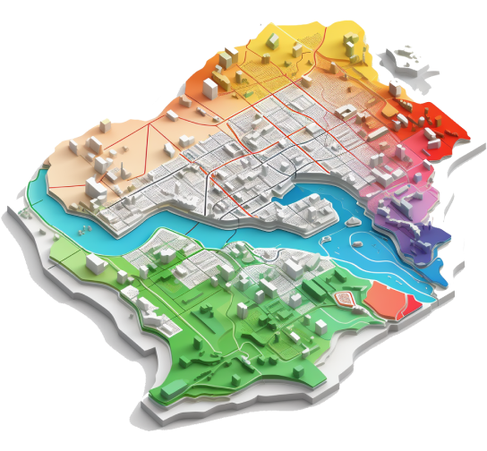
Empowering Insights on Boundaries
Get info on administrative borders with demographic data through high satellite imagery. Gain geographic coverage that encompasses the whole country, and the lowest geographic level with the town (ward level) and village.
- State Boundary & Union territory.
- District Boundary & Tehsil Boundary.
- Town Boundary & Village Boundary.
FEATURES
Provide Awesome Service With Our Tools

SMART MARKET
Get actionable spatial insights to grow your business and upgrade your store strategy.
Contact us

DATA DOWNLOAD
Get data at your fingertips. Empower your decisions with our one-time data download.
Contact usTransform Data into Actionable Insights.