Boundaries
Expand Your Geospatial Vision With Approx 19,000+ Boundaries Data Across India

Scalable and Customizable
Our boundary data is expandable to match your unique demands, whether you are a small business or a huge organization. Customize the dataset to meet the needs of your project, allowing you to focus on what matters most: driving growth and success.

Seamless Integration
Our boundary data is compatible with the most popular GIS tools and platforms, allowing for simple integration into your existing systems. Say goodbye to data format headaches and concentrate on maximizing data's potential for development and efficiency.

Comprehensive Nationwide Coverage
Our boundary dataset includes the whole country, providing you with a comprehensive and consistent geographic picture. Access all of the critical data you need in one spot, from municipal wards to state boundaries.
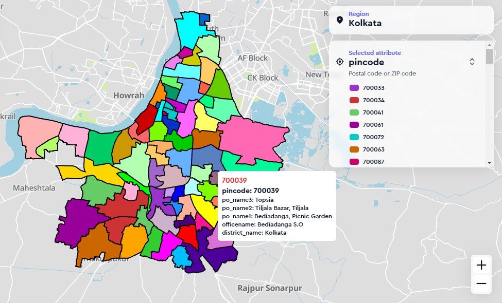
Find detailed geographic information and location-based analytics with our enhanced Pincode Data. Explore over 19,000+ boundaries on Pin/Post/Zip codes,with key attributes gathered from the post office database, location information (Lat-Long), and boundaries represented as polygons.

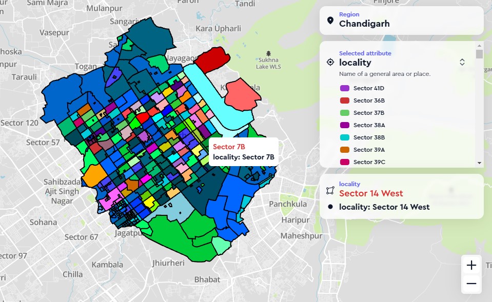
Learn about the three hierarchical layers of boundary maps validated by ground surveys: locality, sub-locality, and block. Use our comprehensive locality data for precise geolocation analytics and take advantage of over 1.6 lakh boundaries for your business.

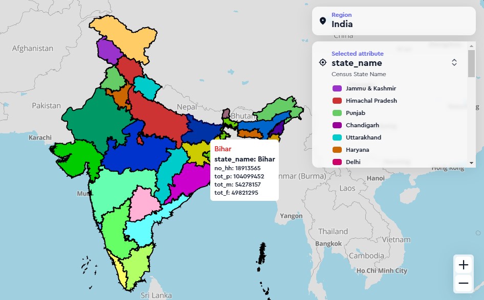
With our comprehensive Village, Tehsil, District, and State boundary data, you can seamlessly navigate across administrative areas. Support your government projects and socio-economic analyses with accurate jurisdictional data. Improve regional planning, demographic studies, and development initiatives with accurate geospatial information


